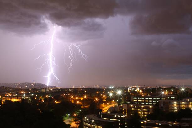
Some parts of the country have been facing unsettled weather as bands of thunderstorms push across central and eastern regions, bringing heightened storm risk and measurable rain chances.
The South African Weather Service has issued a Yellow Level 1 Severe Thunderstorm Warning for an area stretching from Vryburg through parts of the North West and the Northern Cape. This may lead to potential damage to infrastructure, property, and vehicles.
This yellow level 1 zone is expected to experience heavy downpours, frequent lightning, small hail, and strong damaging winds, which may lead to localised flooding on more vulnerable roads.
The surrounding areas across Gauteng, the Free State, Mpumalanga, and Limpopo can expect a broader sweep of thundershowers with a 30% chance of rain.
The Western half of the country, however, including the Western Cape and the far western Northern Cape, will remain dry, with no rainfall expected but rather hot conditions.
Residents in the Gauteng, North West, and eastern regions of the Northern Cape are advised to stay vigilant for rapidly changing weather conditions. It is recommended to avoid flooded low-water bridges and to regularly monitor updates, as thunderstorms may intensify.
On Friday morning, fog and drizzle are expected along the Mpumalanga and KZN provinces. Otherwise, the weather will be partly cloudy and cool to warm, and isolated showers and thundershowers.
Weather forecast for today & tomorrow, 04 – 05 December 2025.
Partly cloudy and cool conditions are expected over the central & eastern parts, with isolated to scattered showers & thundershowers possible from the afternoon. Otherwise, fine and warm to hot.#saws #weatheroutlook pic.twitter.com/CYWRmb9uVD— SA Weather Service (@SAWeatherServic) December 4, 2025
Also see: Severe weather warnings: Continuous rain threatens KZN province
Feature Image: Gettys


