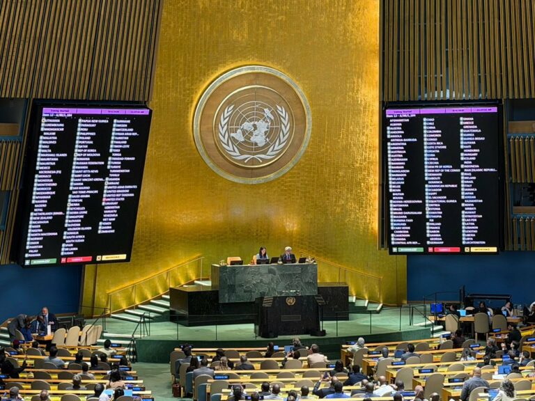
On Friday, 4 September 2026, the United Nations (UN) General Assembly saw 164 nations vote to adopt a new world map that accurately depicts the actual size of countries worldwide.
Also see: Workplace behaviours that look professional but are actually toxic
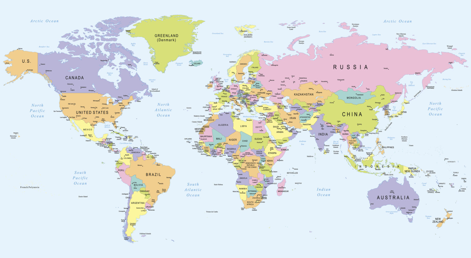
Institutions across the globe have used the Mercator map. This map has been an official document depicting regions around the world since the 16th century. However, it has been confirmed that it is not accurate.
The introduction of the Equal Earth Projection
The Mercator map has been criticised for distorting Africa’s true size. It was found that the continent is made to look the same size as Greenland. In reality, it is 14 times larger. A team of cartographers back in 2018 addressed this distortion and designed the Equal Earth Projection.
The African Union and 54 member states adopted the map, saying that the projection showed accuracy, more particularly the African continent. The online campaign group #CorrectTheMap said that “You could fit the United States, China, India, Japan, Mexico and much of Europe into Africa and still have land to spare.”
The history of the old map
The Mercator projection was designed in 1569 by Flemish cartographer Gerardus Mercator. The map was a breakthrough in nautical cartography; though much ahead of its time, the map became largely adopted in the 19th century.
The map holds a Eurocentric perception of the world. Due to the linear scale of the map, it distorts the size of geographical objects far from the equator and conveys a distorted perception of the overall geometry of the planet.
Also see: Why you’re always broke before payday – and how to break the cycle
Adopting the new world map
At the moment, official institutions are using the Mercator projection, as it is still useful in navigation due to its mostly accurate bearings relative to the equator. It is fairly useless as a world map due to its distortion of the true size of the continents.
Thus, 164 nations in the UN voted to adopt the Equal Earth Projection as an official document depicting the globe. Only the United States voted against it.
Why this is significant
Africa has been an overlooked continent since colonialism. The distortion of the size of the continents in the Global South adds to the minimisation, marginalisation, and dismissal of the existence of nations and countries.
BBC reports that Togolese Foreign Minister Robert Dussey told news agencies that the beginning of an equal world starts with an honest depiction.
Dussey expressed in a UN briefing that “A map is never neutral. It shapes perceptions, and influences how the place of peoples and continents in the world is understood.”
Also see: The art of the pivot: Navigating career change in your 20s
Be the first to know – Join our WhatsApp channel for content worth tapping into. Click here to join!